María Martínez Labiano is not only a ranger working with Basozainak, Environmental Guard of the Government of Navarre in Spain. She also recently completed her Master’s degree in Geographic Information Systems and Remote Sensing with distinction, developing a digital tool for the simultaneous and remote real-time exchange of data for rangers. Read how it helps in fieldwork and why rangering is so rewarding for María despite risks and tough experience.
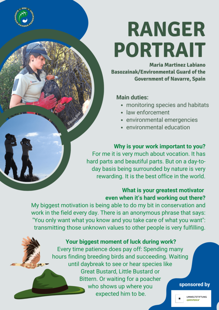
María, please tell us where you work and what your main duties are.
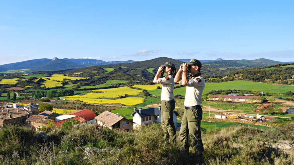
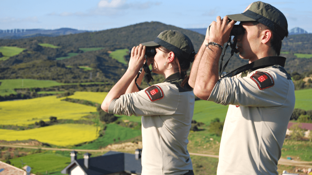
I am working as an environmental agent in the southwest of Navarre. Although natural habitats in Navarre are very diverse, I work mainly in steppe habitat, with the bustard being one of the species that I and my team look after in particular. Overall, our ranger work is based on four pillars: environmental management, environmental police, environmental emergencies and environmental education. So my daily work includes surveillance, inspection, research and management in fauna and flora, including forest and river environment, protected areas, but also looking after livestock roads and controlling hunting and fishing activities, among other tasks.
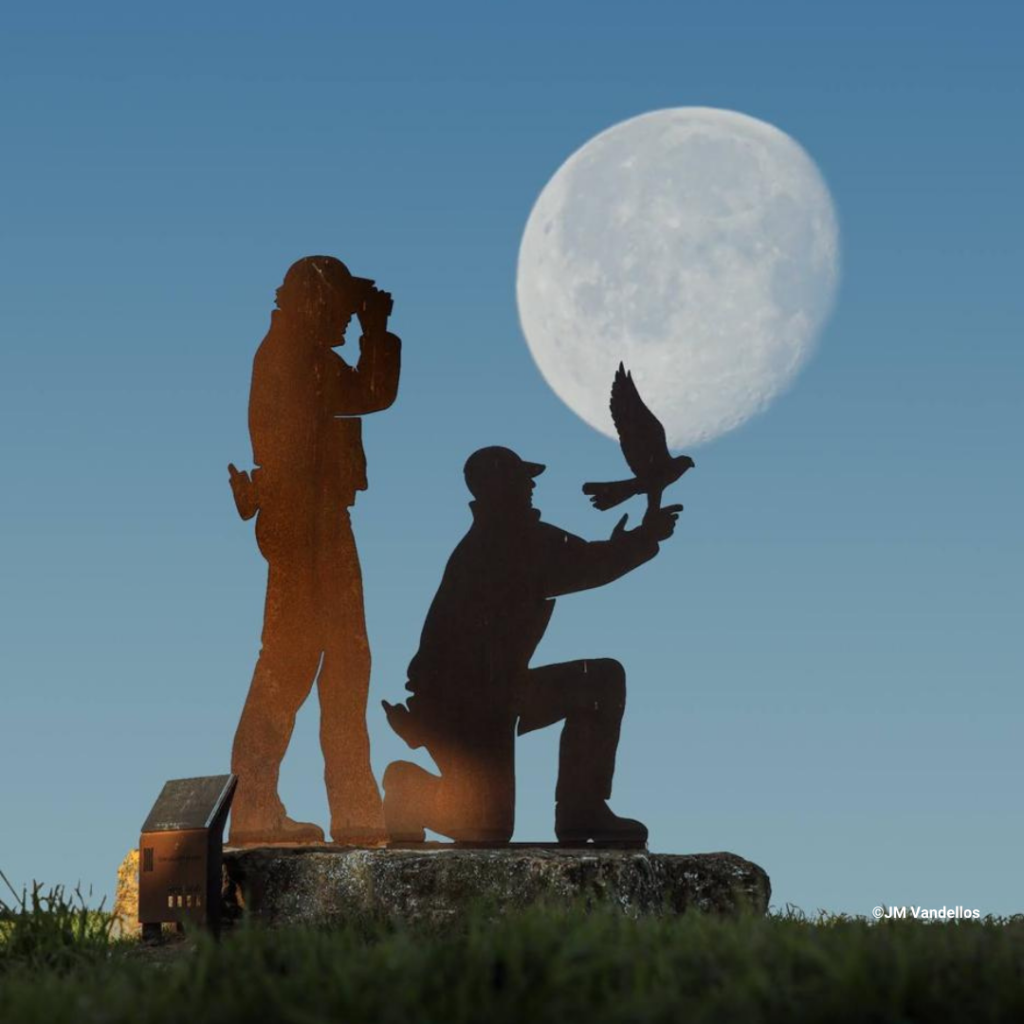
©JM Vandellos
What are the challenges, but also the beautiful aspects of your everyday life as a ranger?
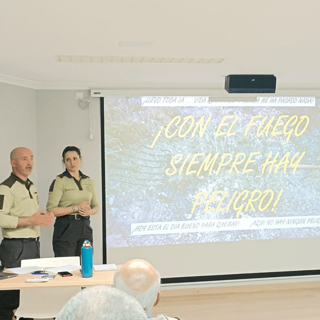
The most hard parts are conflicts with the public and the difficulties to communicate nature conservation related issues. Throughout my professional life, I have only experienced one assault by a user. However and even though this was an unpleasant experience, the murder of Xavier Ribes and David Iglesias, fellow Agents Rurals in Catalonia, was the event that marked me in the development of my work as a “before and after”. Although it is not normal on a day-to-day basis of my work, the risk exists and is present. On the other hand, there are the many rewarding experiences, for example when I am able to save an animal’s life. I like to work with all the different species, but also really like doing environmental education with children and adults. To know of the real importance of this special species or habitat and being able to transmit them means a lot for me. And the teamwork is particularly motivating: I think we are a very united collective and ultimately a big family. Although we are in different administrations, there are very good comrades all over Spain.
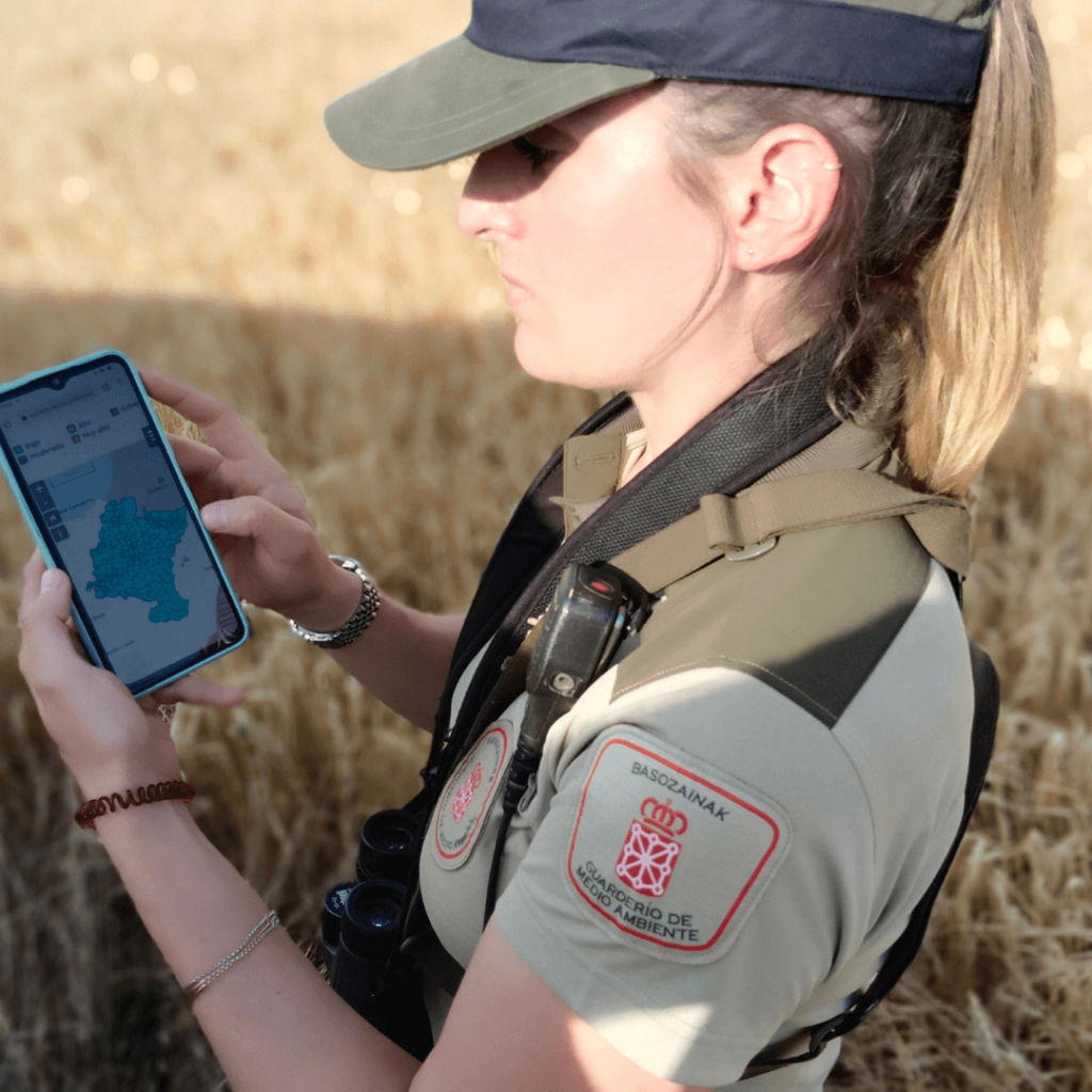
Besides rangering you also finished your master studies recently by developing a digital tool for ranger work. Can you tell a bit about it?
I recently finished my master studies with a degree in GIS and remote sensingin, at the Universidad Publica de Navarra (UPNA). It was really interesting for me to do these studies, because I can apply it in my work out in the field. Led by my Director Cesar Arriaga Egües, I developed a management application with a strong Geographic Information System (GIS) component, a system that analyzes and displays geographically referenced information. Its interoperability allows data to be updated, stored, performed and retrieved by multiple users simultaneously. Rangers can work with it mobile out in the field and via a desktop client in the office. The tool thus responds to the need to work simultaneously and remotely. In short, it’s a tool to help ranger teams collect data and manage work and information.
REGISTER FOR OUR ONLINE TRAINING DIGITAL TOOLS FOR RANGERS ON 29 JUNE
Klemens Mrogenda, digital strategist at German Federal Agency for Nature Protection (BfN) and Ranger, shows you a structured overview on digital tools for ranger work; risks & potentials through digital applications; a brief overview on upcoming trends & topics; Deepdive/Excursus: How to evaluate digital projects & applications from a holistic viewpoint
Start Time: 4.30 pm (GMT+2/CEST)
DOWNLOAD FLYER
or
REGISTER NOW
This content is sponsored by